
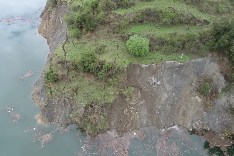
Monitoring Objective
Slope risk can appear as deep shear movement, widening surface cracks and rainfall infiltration. Define the likely slip-surface depth first, then establish a continuous borehole displacement baseline and use surface and environmental readings to explain changes.
Monitoring Parameters
- Deep horizontal displacement profiles
- Surface crack opening and tilt
- Rainfall, groundwater level and water temperature
- Device health, communications and threshold events
Typical Configuration
Use the RT-1010 shape array for deep boreholes, with the RT-1015 for shallow-to-medium-depth boreholes and the RT-1020 for fixed-point monitoring at selected depths. RT-1060 crack meters and RT-1090 rain gauges add surface and rainfall context. A cloud platform brings the channels together.
Deployment Considerations
Boreholes should pass the suspected slip surface and include a stable reference section. Confirm cellular coverage before installation; For sites without carrier coverage, select equipment that supports LoRa or local storage and retrieval, and confirm the specific configuration.
FAQ
Why not monitor surface cracks alone?
Surface cracks confirm visible movement but do not locate deformation at depth. Combining crack data with a borehole profile provides a more complete view of where movement occurs and how it develops.