Background
Shuangjiangkou Hydropower Project is a major reservoir project on the upper Dadu River in Sichuan, China. The earth-and-rockfill dam has a design height of 315 m and requires more than 46 million cubic meters of earth and rock for construction.
The monitoring scope covered settlement in the dam core and upstream rockfill. Instruments had to remain embedded as filling and compaction progressed, with reference connections and installation checks that would preserve a usable baseline.
| Project detail | Monitoring record |
|---|---|
| Location | Upper Dadu River, Sichuan, China |
| Asset | Core and upstream rockfill of Shuangjiangkou Dam |
| Instruments | Horizontal RT-1010 Array Displacement Meter strings |
| Scope | More than 1,000 m of sensor strings at three elevations |
| Start of installation | February 2024 |
| Reported results | Close agreement with manual readings and stable data after impoundment, as recorded in the project application statement |
Key Points
During construction, settlement measurements allow engineers to compare the dam’s response with design expectations and assess foundation treatment and filling. During impoundment and operation, settlement rates and profiles identify changes requiring further engineering review.
For this project, the measurement arrangement needed to cover long sections of the core and rockfill and remain accessible through the remote monitoring system after burial.
Implementation
Horizontal arrays at three elevations
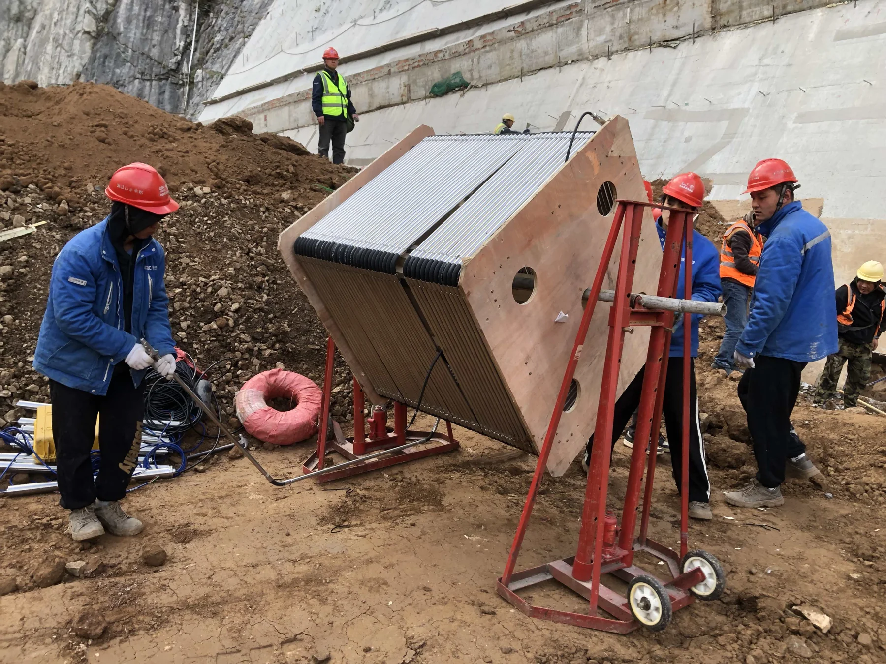
More than 1,000 m of Array Displacement Meter sensor strings were installed in the core and upstream rockfill. Installation began in February 2024, with settlement monitoring at three elevations.
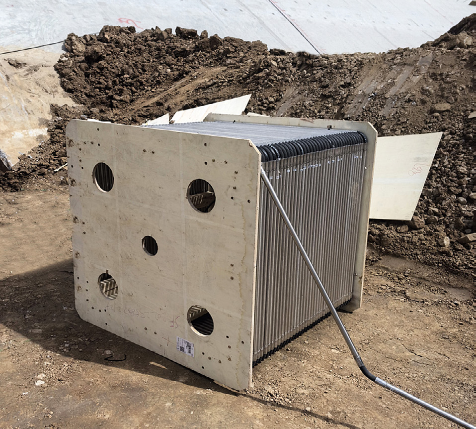
In the core, horizontal arrays were connected at both ends to fittings embedded in concrete cover plates on the left and right banks. Universal joints connected the strings to these reference points, establishing the arrangement for measuring settlement across the dam.
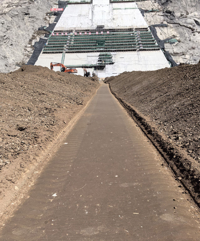
In the upstream rockfill, a fine-sand layer protected the horizontal arrays. The project record describes checks of this installation method against the placement and compaction of the overlying rockfill.
Selection testing and installation checks
Before selection, the project compared measurement accuracy and resistance to water pressure, using a 4.5 MPa pressure test. This test applied to the version evaluated for the project; pressure ratings for other installations depend on the specified product version.
QA/QC procedures were prepared and completed for each instrument before installation. Engineers assisted with installation and cable routing during backfilling. Repeated readings established initial and baseline values and checked that the instruments remained functional as construction continued.
Outcome
The project application statement records normal equipment operation, compliance with the project’s accuracy, water-pressure and stability requirements, close agreement with manual measurements and stable data after impoundment.
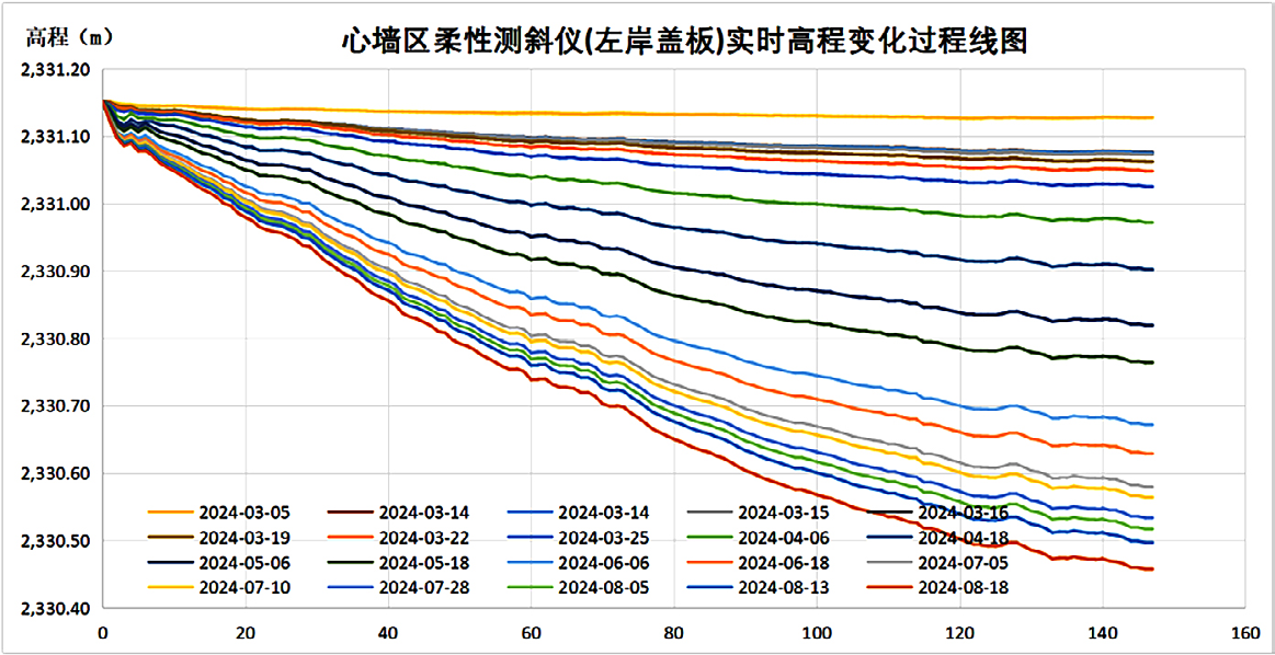
The project records describe remote data review and comparison with theoretical settlement calculations. The published core-wall elevation profiles use the left-bank cover plate as their reference and show changes across successive measurement dates.