
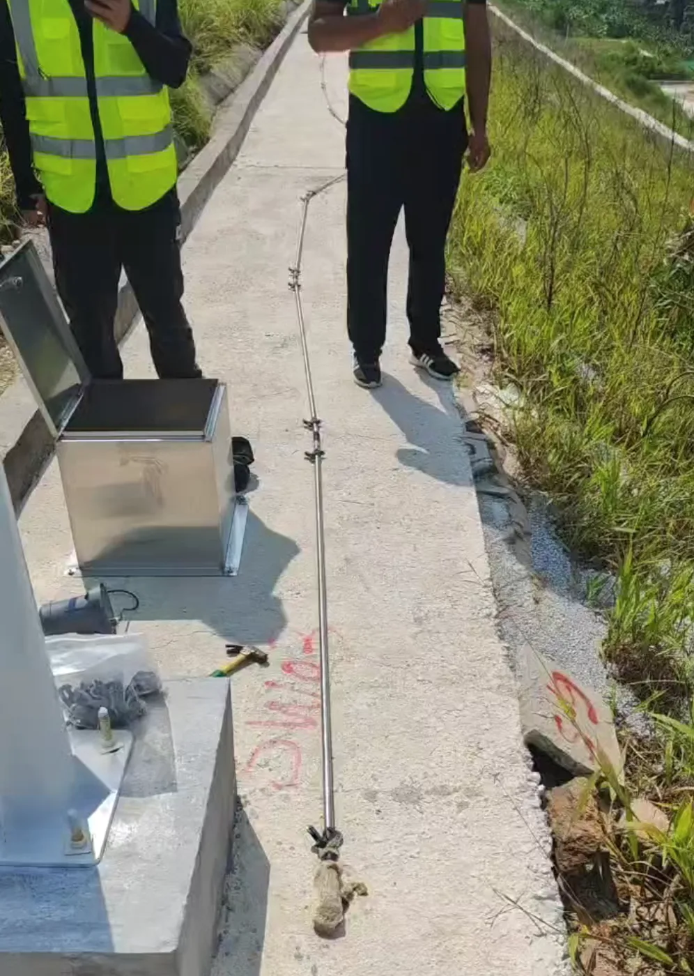
The Yangchun–Xinyi Expressway slope program used 163 full-profile inclinometer boreholes. Borehole depths ranged from 25 to 60m and extended at least 8m below the potential slip surface. Shape arrays worked alongside pore-pressure, rainfall, GNSS and InSAR monitoring through the wet season.
Each RT-1010 string integrated a pressure-based water-level sensor at the bottom, returning horizontal displacement, groundwater level and water temperature from the same borehole. Wireless acquisition terminals served the distributed roadside locations.
Project records for six months of monitoring reported cumulative vector displacement below 1mm, groundwater variation below 0.5m, and a difference below 0.4mm between GNSS and inclinometer results. The deployment demonstrates how deep movement and hydrological drivers can share one borehole.